
")
After hiking Palo Duro Canyon trails for years, I know which paths deliver the best experience.
This guide ranks 15 trails by difficulty, scenery, and crowd levels.
I’ll share strategies for avoiding packed trailheads and finding quiet routes. Texas State Parks manages over 30 miles of designated trails here, and I’ve walked most of them multiple times.
This post covers easy riverside paths, moderate canyon hikes, and challenging rim climbs. You’ll also get timing advice and gear tips.
By the end, you’ll know which Palo Duro Canyon trails match your abilities and goals.
Let’s get started.
Quick Guide to Palo Duro Canyon Trails
The basics matter before you start.
Palo Duro Canyon State Park maintains over 30 miles of official hiking trails. Routes range from short 1-mile walks to full-day treks covering 6+ miles.
Trail types include flat riverside paths, moderate canyon floor routes, and steep rim climbs. Some trails connect to create longer loops.
According to Texas State Parks, most visitors stick to three or four popular routes. That leaves quieter options for those who want solitude.
The park sits roughly 20 miles south of Amarillo. Entrance fees are $8 per adult. Trail parking fills quickly on weekends, especially March through May.
Starting early helps. Temperatures climb fast after 10 AM.
Cell service is spotty throughout the canyon. Download offline maps before arriving. Water sources are scarce on trails.
How to Choose the Right Palo Duro Canyon Trail for You
Your fitness level determines where to start.
New hikers should choose trails under 3 miles with less than 500 feet of elevation gain. Riverside routes work well for beginners.
Moderate hikers can handle 4 to 6 miles with gradual climbs. These trails show more terrain variety.
Experienced hikers can tackle longer loops covering 8+ miles with significant elevation changes.
Group composition matters too. Kids do better on shorter trails with interesting features. Older adults often prefer flat, shaded paths.
Available time is another factor. Short trails take 1 to 2 hours. Full loops require 4 to 6 hours.
Weather changes everything. Summer heat makes long trails dangerous. Spring and fall offer better conditions. Winter hiking works well with proper clothing.
Consider what you want to see. Rock formations? Canyon overlooks? Wildlife? Different trails specialize in different features.
15 Best Palo Duro Canyon Trails (Ranked & Mapped)
These trails are ranked by popularity, scenery, and overall experience based on years of hiking here.
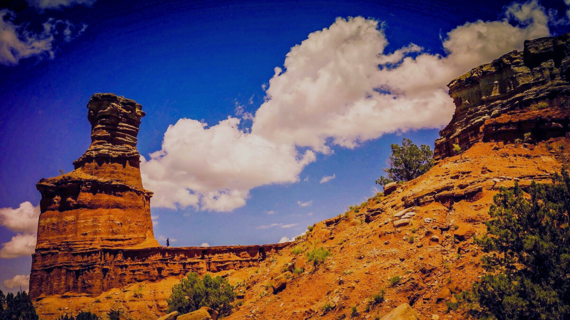
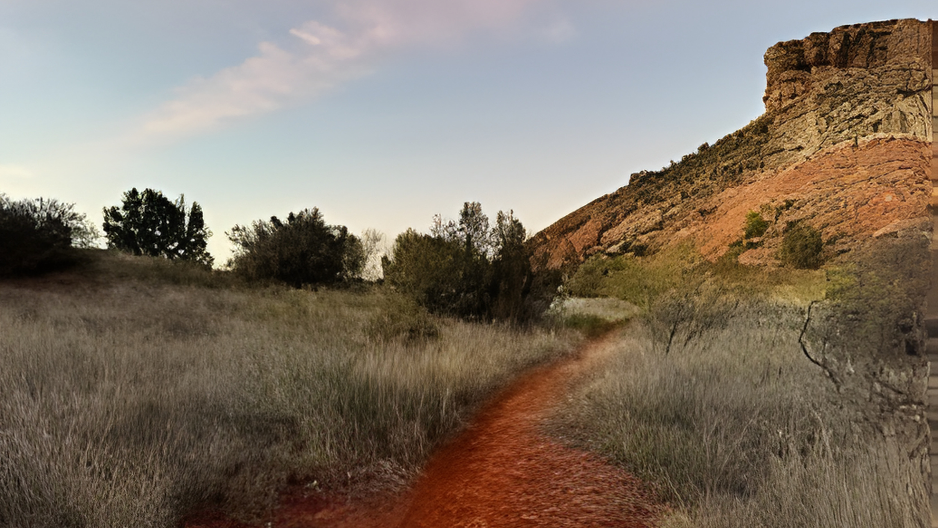
1. Lighthouse Trail – Iconic Views & Moderate Challenge
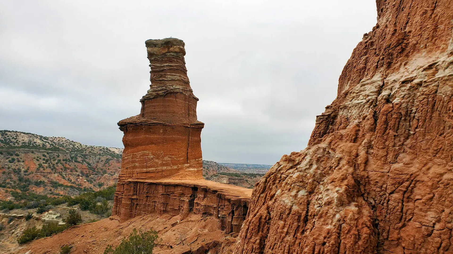
Distance: 5.8 miles round trip | Elevation Gain: ~500 feet | Difficulty: Moderate
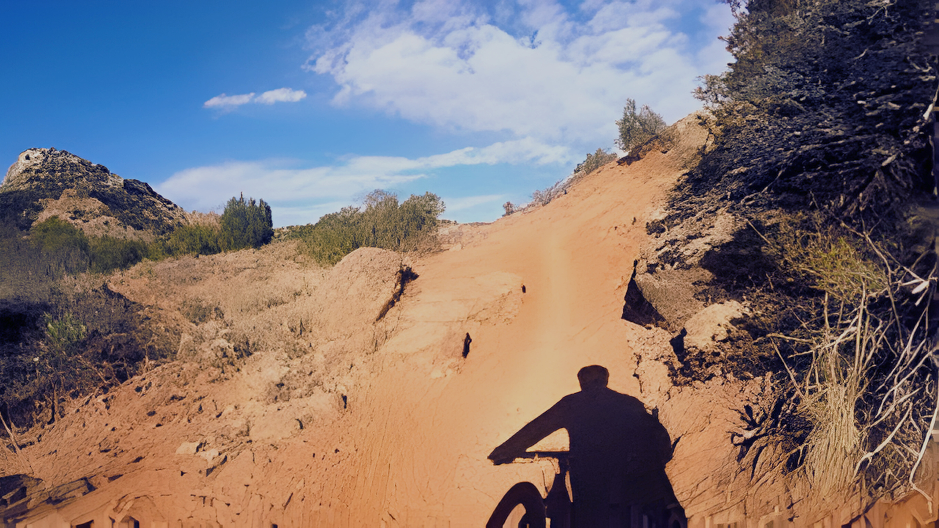
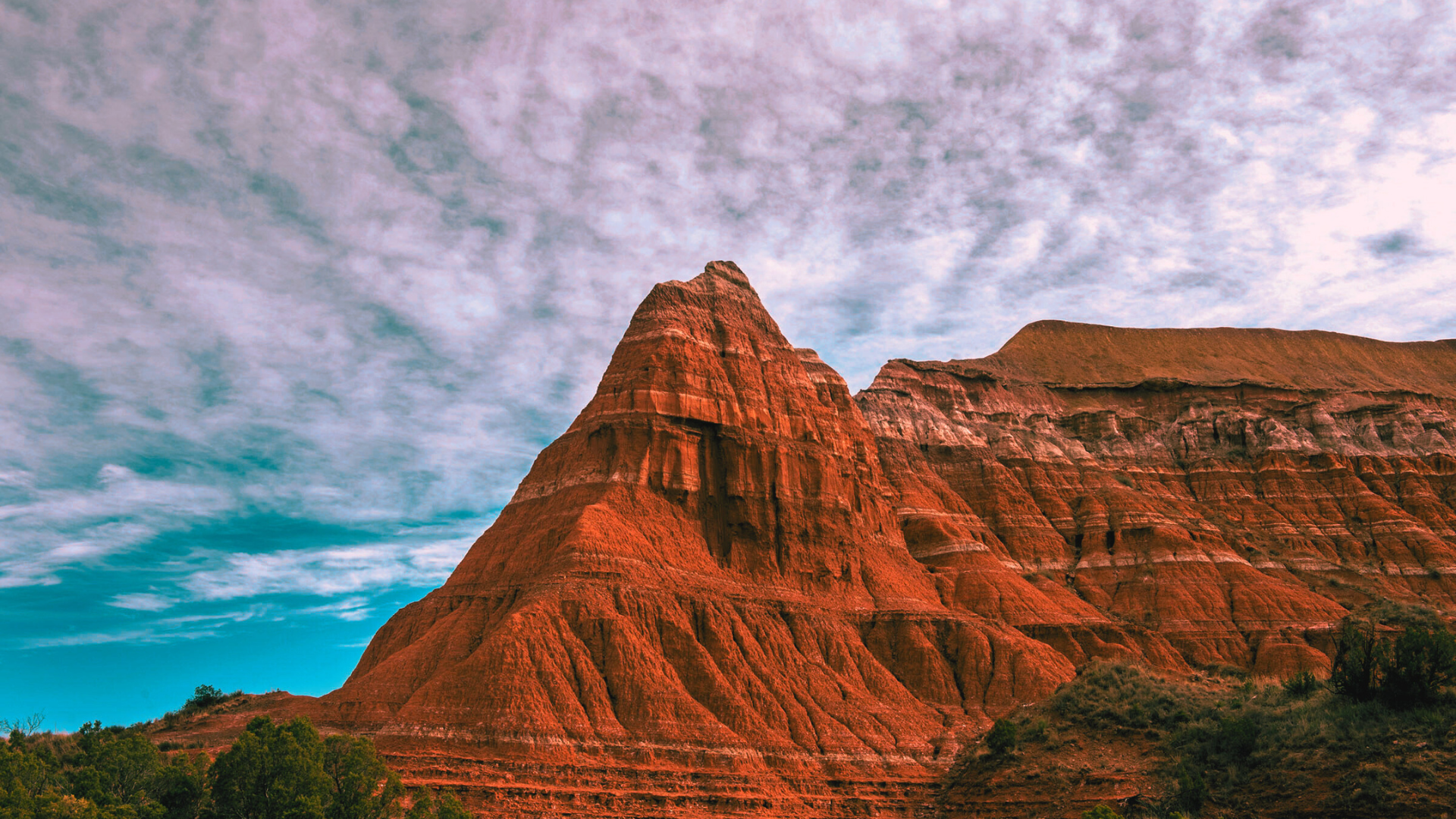
The most famous hike in the park leads to the Lighthouse rock formation. This red and white striped tower is the canyon’s signature landmark.
Parking fills by 9 AM on weekends. Weekday mornings see fewer crowds. The path follows a wash before climbing through colorful rock layers.
2. Givens, Spicer & Lowry Trail Loop – Best Full Canyon Experience
Distance: 6 miles loop | Elevation Gain: ~700 feet | Difficulty: Moderate
This loop combines three connected trails showcasing rock formations, canyon walls, and open plains. Trail markers follow standard park color coding.
Starting near the visitor center, expect lighter crowds than Lighthouse Trail. Plan for 3 to 4 hours total.
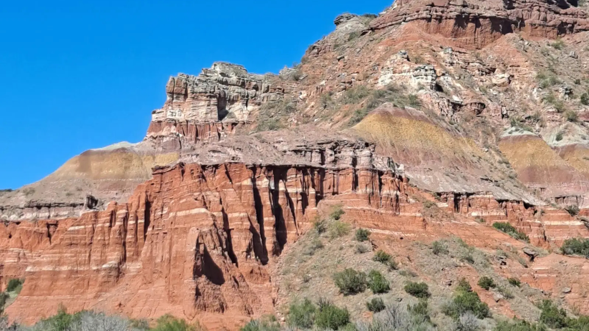
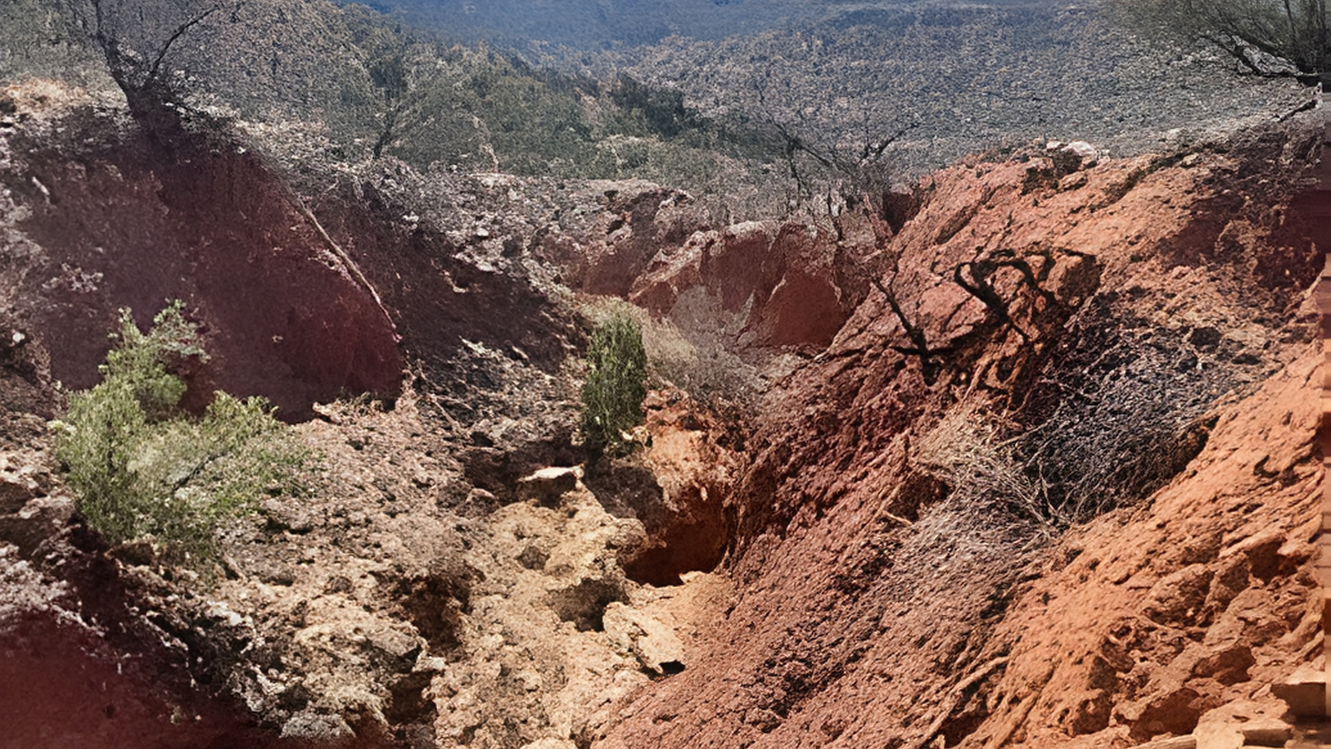
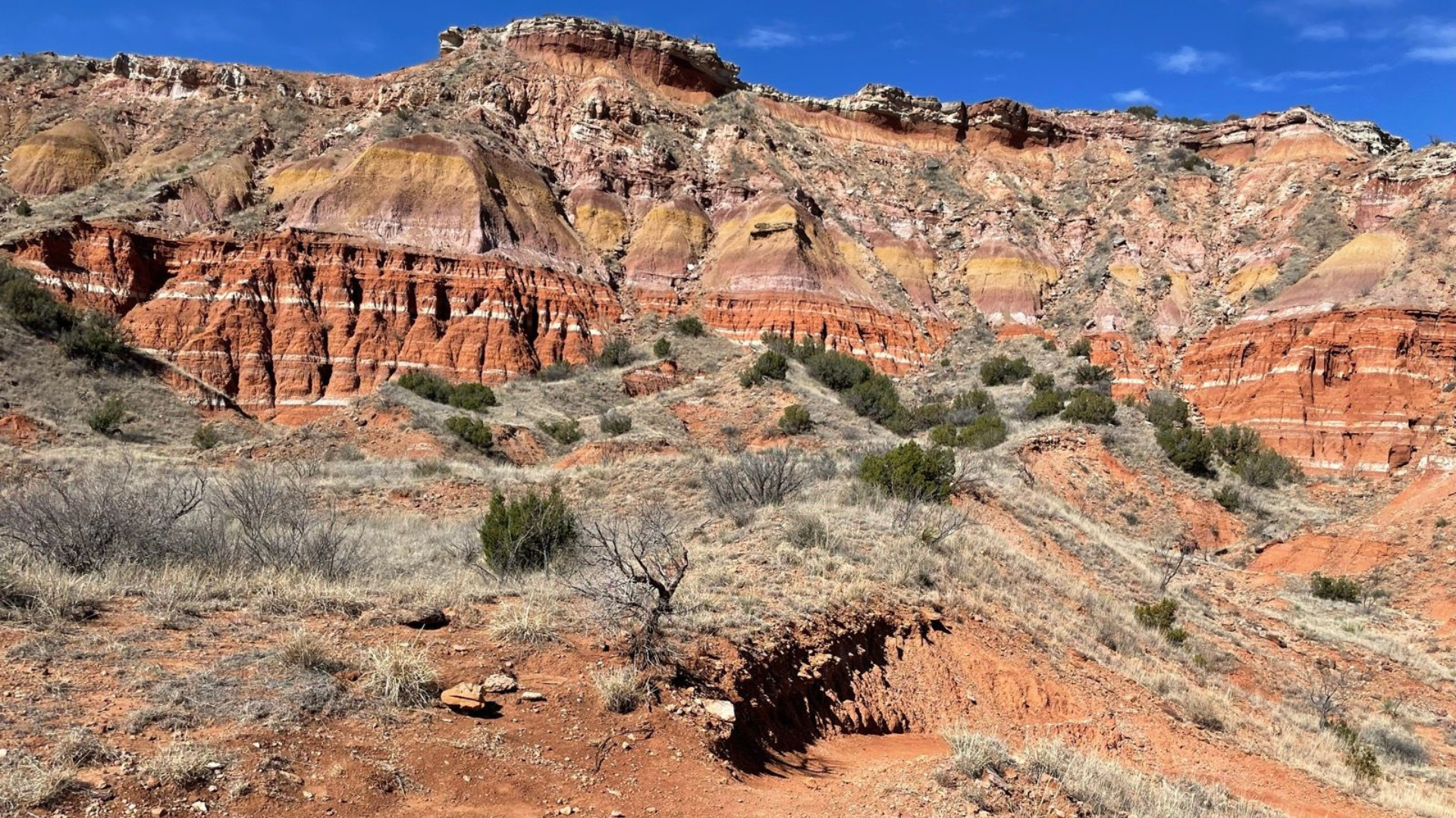
3. Rock Garden Trail – Most Colorful Rock Formations
Distance: 2.5 miles out-and-back | Elevation Gain: ~200 feet | Difficulty: Easy to Moderate
Vivid red, orange, and purple rock layers create natural sculptures. Some loose gravel sections require careful footing.
Morning and late afternoon offer the best photo lighting. Typical completion time is 90 minutes.
4. Upper Comanche Trail – Quiet & Underrated Canyon Views
Distance: 1.7 miles round trip | Elevation Gain: ~400 feet | Difficulty: Moderate
This trail climbs to a rim viewpoint overlooking the canyon floor. On clear days, spot the Lighthouse formation from here.
The trailhead sits near the pavilion area. Most visitors skip this route, meaning solitude even on busy days.
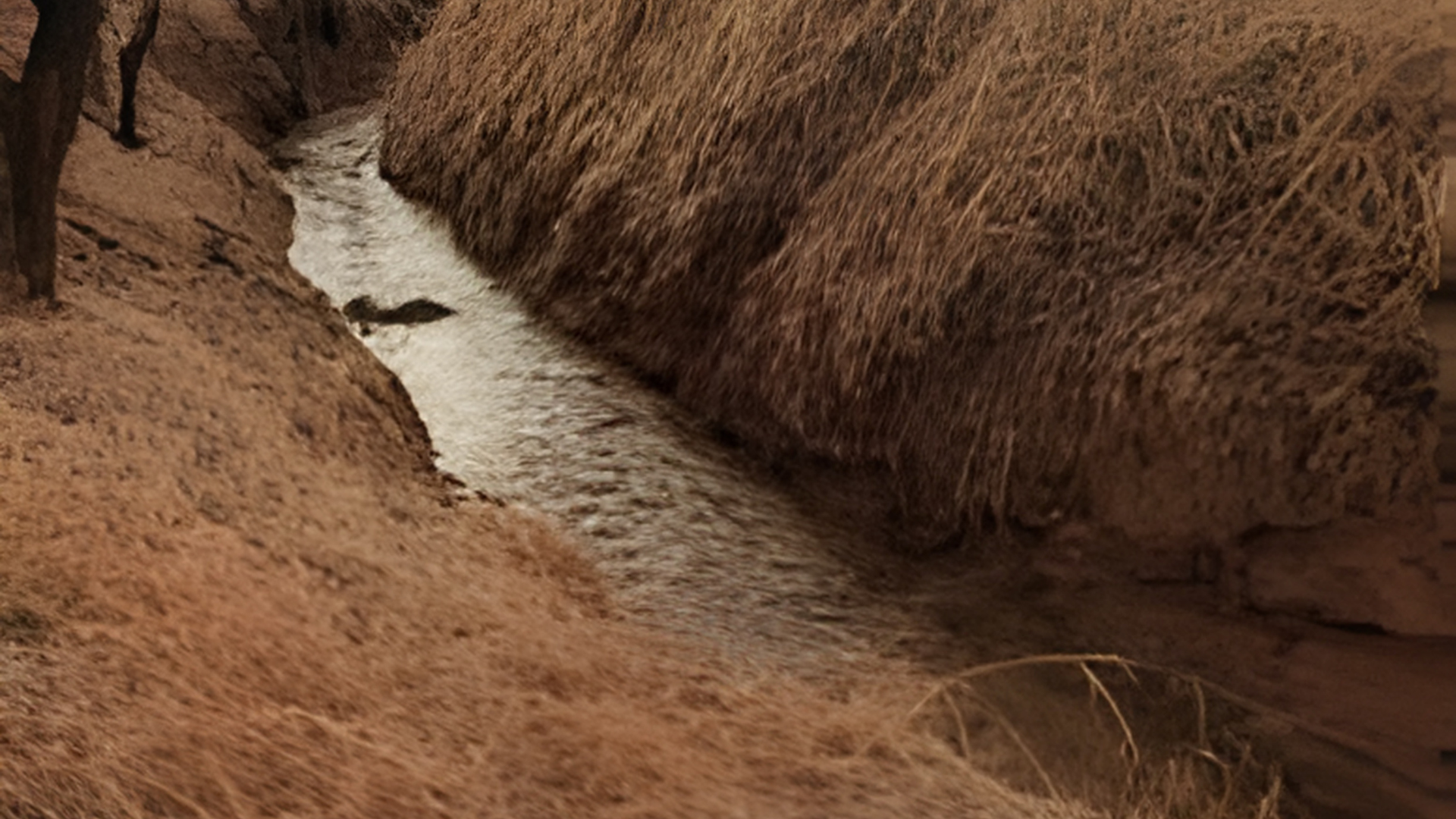
5. Lower Comanche Trail – Best Wildlife Spotting
Distance: 2 miles out-and-back | Elevation Gain: Minimal | Difficulty: Easy
Flat canyon floor route through grasslands and mesquite trees. Wildlife sightings are common, especially early morning.
Deer, roadrunners, and wild turkeys frequent this area. The canyon hosts over 150 bird species.
6. Paseo del Rio Trail – Best Easy Walk Along the River
Distance: 1.8 miles round trip | Elevation Gain: None | Difficulty: Easy
Mostly paved trail following the Prairie Dog Town Fork of the Red River. Wheelchair and stroller accessible for most sections.
Cottonwood trees provide significant shade. Temperatures stay cooler near the water.
7. Sunflower Trail – Short but Scenic Hidden Gem
Distance: 0.9 miles loop | Elevation Gain: ~100 feet | Difficulty: Easy
Small valley loop with spring wildflowers and intimate rock wall settings. Minimal elevation change means 30-minute completion.
The trailhead near the campground keeps most day visitors away.
8. Capitol Peak Trail – Steep, Rugged & Rewarding
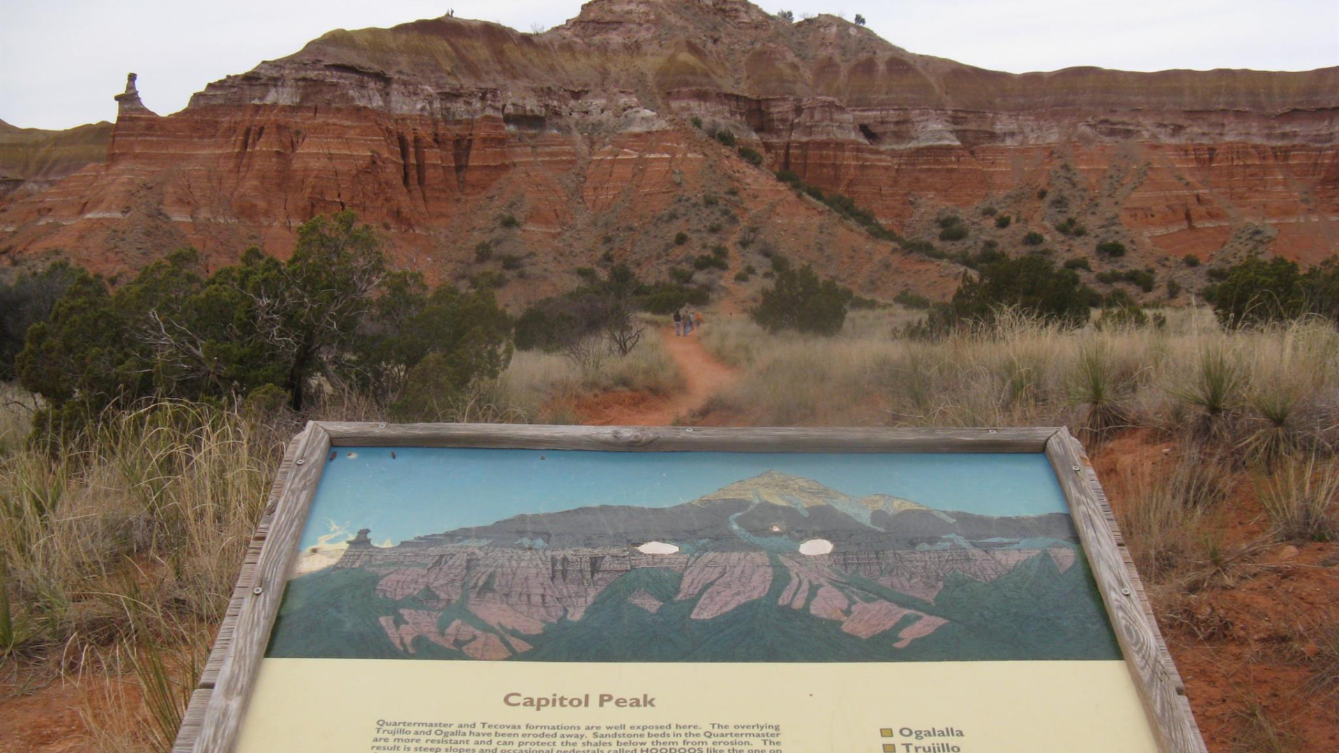
Distance: 3 miles round trip | Elevation Gain: ~1,000 feet | Difficulty: Strenuous
Challenging climb to the canyon rim with expansive views reaching into New Mexico on clear days.
Rocky, exposed path with no shade. Summer hiking requires pre-sunrise starts. Bring two liters of water minimum.
9. Fortress Cliff Trail – Dramatic Canyon Walls
Distance: 4 miles round trip | Elevation Gain: ~500 feet | Difficulty: Moderate
Wind between massive cliff faces with dramatic lighting throughout the day. Some scrambling over uneven footing required.
This trail receives less attention than it deserves for the views offered.
10. Mesquite Trail – Shaded & Beginner-Friendly
Distance: 1.5 miles loop | Elevation Gain: Minimal | Difficulty: Easy
Mesquite and juniper canopy keeps temperatures lower. Soft dirt path is easy on feet with simple loop navigation.
Good choice for hot days when shade matters most.
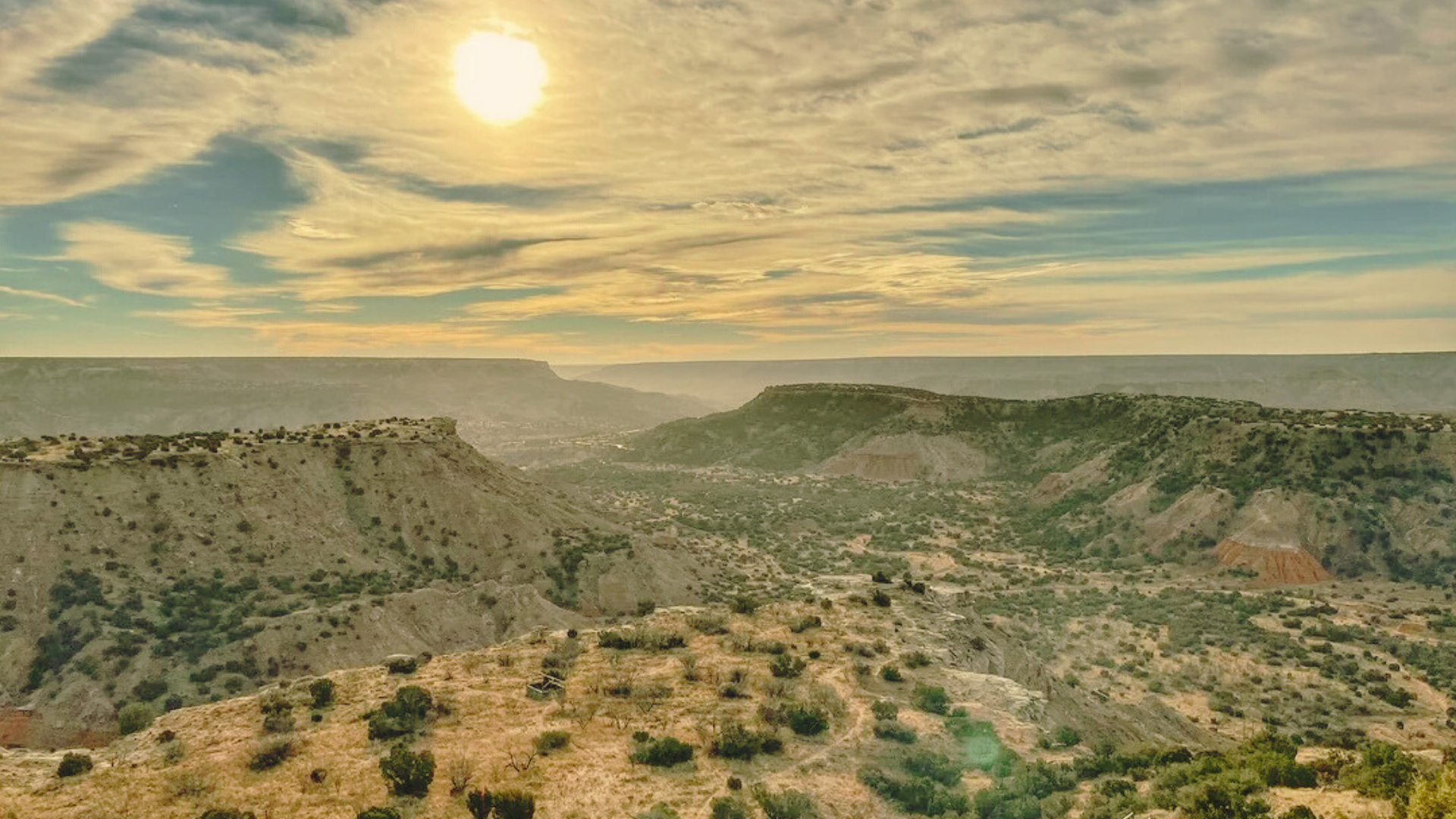
11. Plains Trail – Best Trail for Sunset Hikes
Distance: 2.3 miles out-and-back | Elevation Gain: None | Difficulty: Easy
Flat canyon rim trail with big sky views. Sunsets light up the entire canyon in orange and pink.
Evening winds pick up, so bring a jacket.
12. Juniper Riverside Trail – Water Views & Cooler Temps
Distance: 2 miles out-and-back | Elevation Gain: ~150 feet | Difficulty: Easy
Riverbank path under juniper trees. When water flows, temperatures drop noticeably.
Watch for exposed roots. More comfortable summer hiking than exposed trails.
13. Red River Trail – Least Crowded Long Hike
Distance: 6 miles point-to-point | Elevation Gain: ~300 feet | Difficulty: Moderate
Requires two vehicles or shuttle arrangement. Remote canyon sections with minimal crowds.
Distance is the main challenge. Pack everything needed as bailout points are limited.
14. Chinaberry Trail – Best Trail Near Campgrounds
Distance: 1 mile loop | Elevation Gain: Minimal | Difficulty: Easy
Starting from the campground, perfect for morning walks or evening strolls. Flat terrain allows kids to move freely.
Convenient for stretching between longer hikes.
15. CCC Trail – Historic & Scenic Route
Distance: 3.2 miles out-and-back | Elevation Gain: ~400 feet | Difficulty: Moderate
Follows an old Civilian Conservation Corps road from the 1930s. A wide, maintained path climbs gradually to viewpoints.
Remnants of Depression-era construction work visible along the route.
Best Palo Duro Canyon Trails by Difficulty
This table groups trails by difficulty level to help you choose based on your fitness and experience.
| Easy Trails | Distance | Moderate Trails | Distance | Strenuous Trails | Distance |
| Paseo del Rio | 1.8 mi | Lighthouse | 5.8 mi | Capitol Peak | 3 mi |
| Sunflower | 0.9 mi | Givens/Spicer/Lowry | 6 mi | — | — |
| Chinaberry | 1 mi | Rock Garden | 2.5 mi | — | — |
| Mesquite | 1.5 mi | Upper Comanche | 1.7 mi | — | — |
| Plains | 2.3 mi | Fortress Cliff | 4 mi | — | — |
| Lower Comanche | 2 mi | Red River | 6 mi | — | — |
| Juniper Riverside | 2 mi | CCC Trail | 3.2 mi | — | — |
Match your fitness level to the appropriate column and pick a trail that fits your available time.
Best Time of Year to Hike Palo Duro Canyon Trails
Spring (March through May) offers ideal conditions. Temperatures range from 60s to 70s. Wildflowers bloom across the canyon. This is peak season, so expect weekend crowds.
Summer (June through August) requires early starts. Finish hikes by 10 AM. Afternoon temperatures regularly exceed 100 degrees. The canyon floor runs 10 degrees hotter than the rim.
Fall (September through November) provides comfortable hiking with fewer crowds. Temperatures cool to 70s and 80s. Late October brings golden cottonwood colors.
Winter (December through February) allows all-day hiking without overheating. Temperatures range from 40 to 60 degrees.
Trails are mostly empty. Bring layers for freezing mornings. Ice forms on shaded sections.
What to Know Before Hiking Palo Duro Canyon Trails
Water is critical in desert conditions. Bring one liter per hour of hiking. No water fountains exist on trails.
Sun protection includes wide-brimmed hats, sunscreen reapplied every two hours, and sunglasses.
Footwear matters. Trail runners work for most paths. Boots provide better ankle support on rocky terrain.
Flash floods occur during storms. Avoid creek beds when clouds build. Check weather forecasts before hiking.
Wildlife includes snakes that usually avoid people. Buffalo roam park sections. Stay at least 100 feet away.
Cell service is unreliable. Download offline maps before arrival. Tell someone your hiking plan.
According to Texas State Parks, entrance fees are $8 per adult. Kids under 12 enter free. Park opens at 7 AM year-round.
Final Thoughts
These 15 trails cover every skill level and interest. Palo Duro Canyon State Park provides options from easy riverside walks to challenging rim climbs.
Match trail choice to your fitness and available time. Start with shorter paths when building experience. Progress to longer routes as confidence grows.
The canyon rewards those who respect the environment and plan accordingly. Red rocks, expansive skies, and quiet moments make this place worth visiting repeatedly.
Every trip shows something different depending on season, weather, and which trail you choose.
Frequently Asked Questions
How long does it take to hike Lighthouse Trail?
Most hikers complete the 5.8-mile round trip in 3 to 4 hours including photo breaks. Faster hikers finish in 2.5 hours. Bring adequate water and take your time.
Can I hike with my dog in Palo Duro Canyon?
Yes, dogs are allowed on all trails according to park regulations. They must stay leashed at all times. Bring water for your dog. Hot ground burns paws in summer months.
Do I need a permit to hike in Palo Duro Canyon?
No permits required. Pay the park entrance fee at the gate. After entry, all trails are open during park hours. Show up and start hiking.
What’s the easiest trail for kids?
Paseo del Rio Trail works best for families. The paved, flat 1.8-mile path is manageable for children. Trees provide shade. No dangerous sections exist.
Are the trails crowded on weekdays?
Weekdays see significantly lighter traffic than weekends. Other hikers will be present but not crowds. Early morning hours offer even more solitude. Parking rarely fills on weekday mornings.