

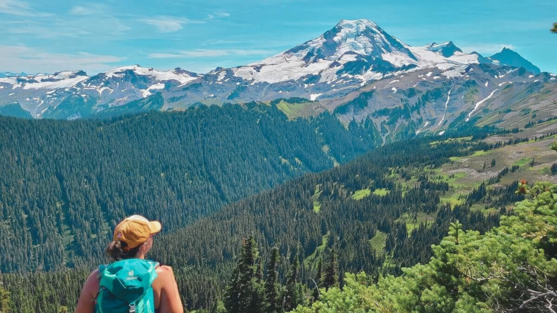
I’ve spent years hiking around Mount Baker, and I can tell you this place offers something for everyone.
You’re about to find 15 trails that match your fitness level, from easy lakeside walks to challenging summit climbs.
This guide covers the best Mount Baker hikes, ranked by difficulty, with trail details, timing tips, and safety advice.
I’ve walked most of these routes myself, so you’re getting real experience here.
Whether you’ve never hiked before or you’re chasing alpine views, this list will help you pick the perfect trail without wasting time on bad matches.
Let’s get started.
Why Hike Mount Baker? (What Makes These Trails Different)
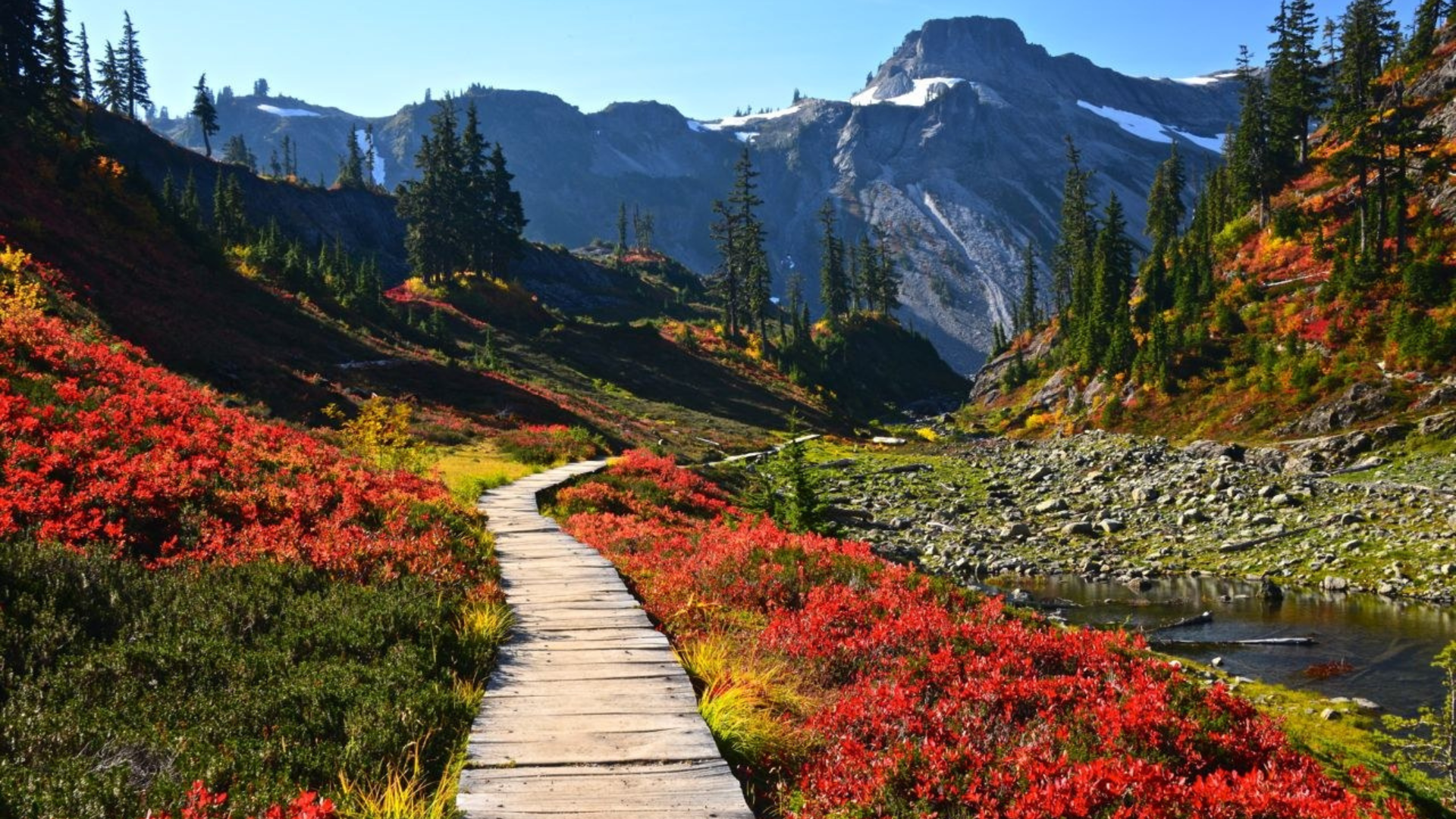
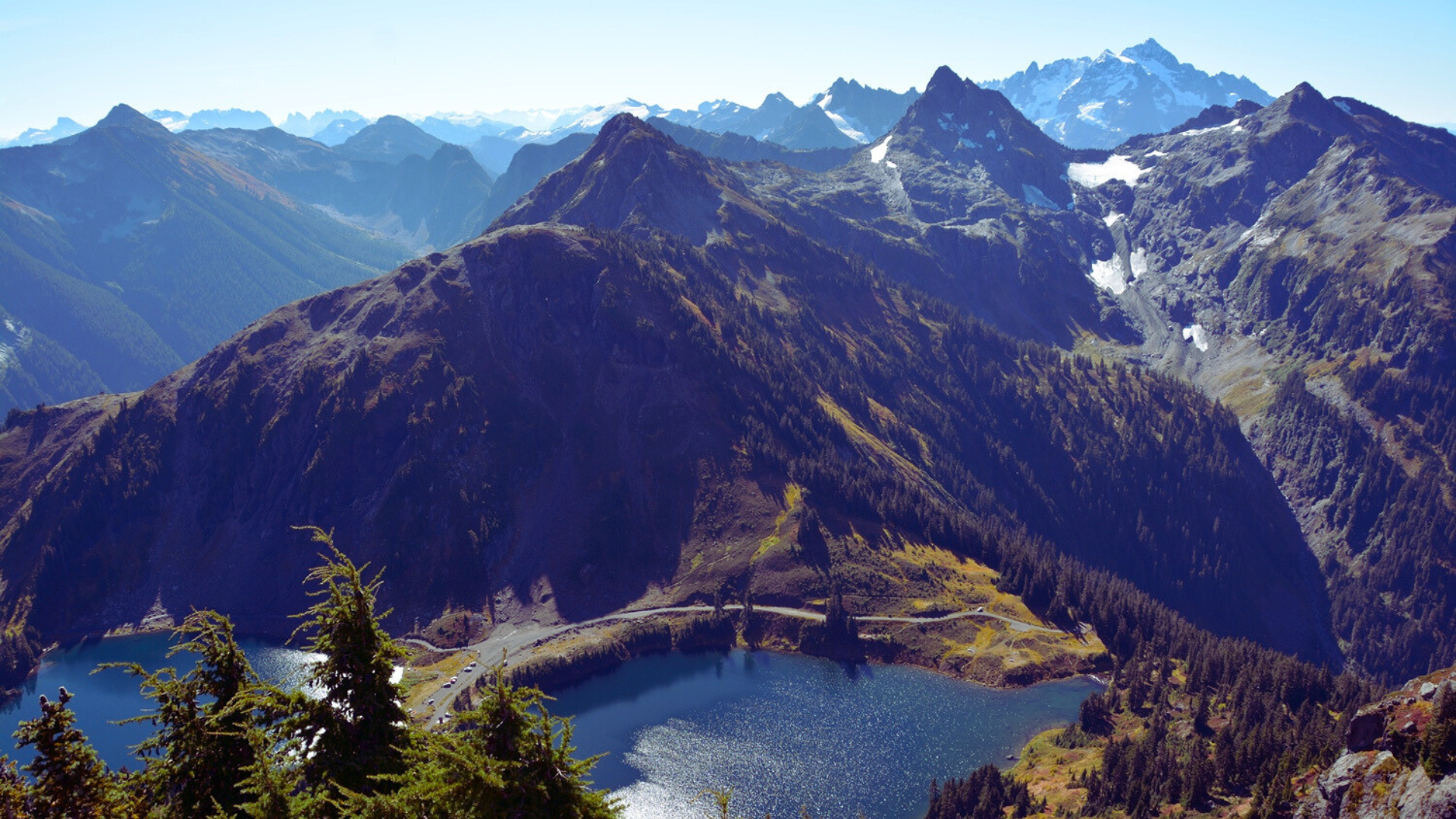
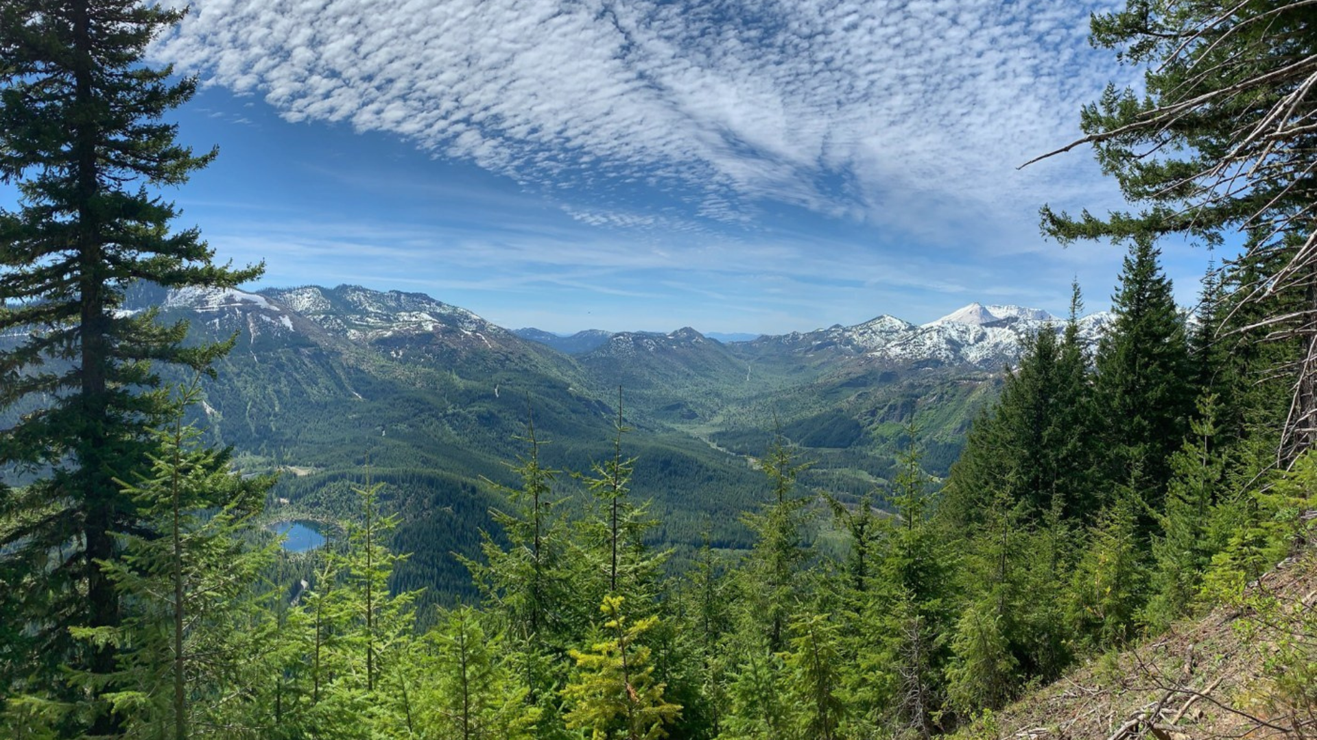
Mount Baker sits in the North Cascades and gets more snow than almost anywhere in the lower 48 states. That means late-blooming wildflowers and massive visible glaciers.
You’ll see fewer crowds than at Mount Rainier. Most trails feel quiet even on summer weekends.
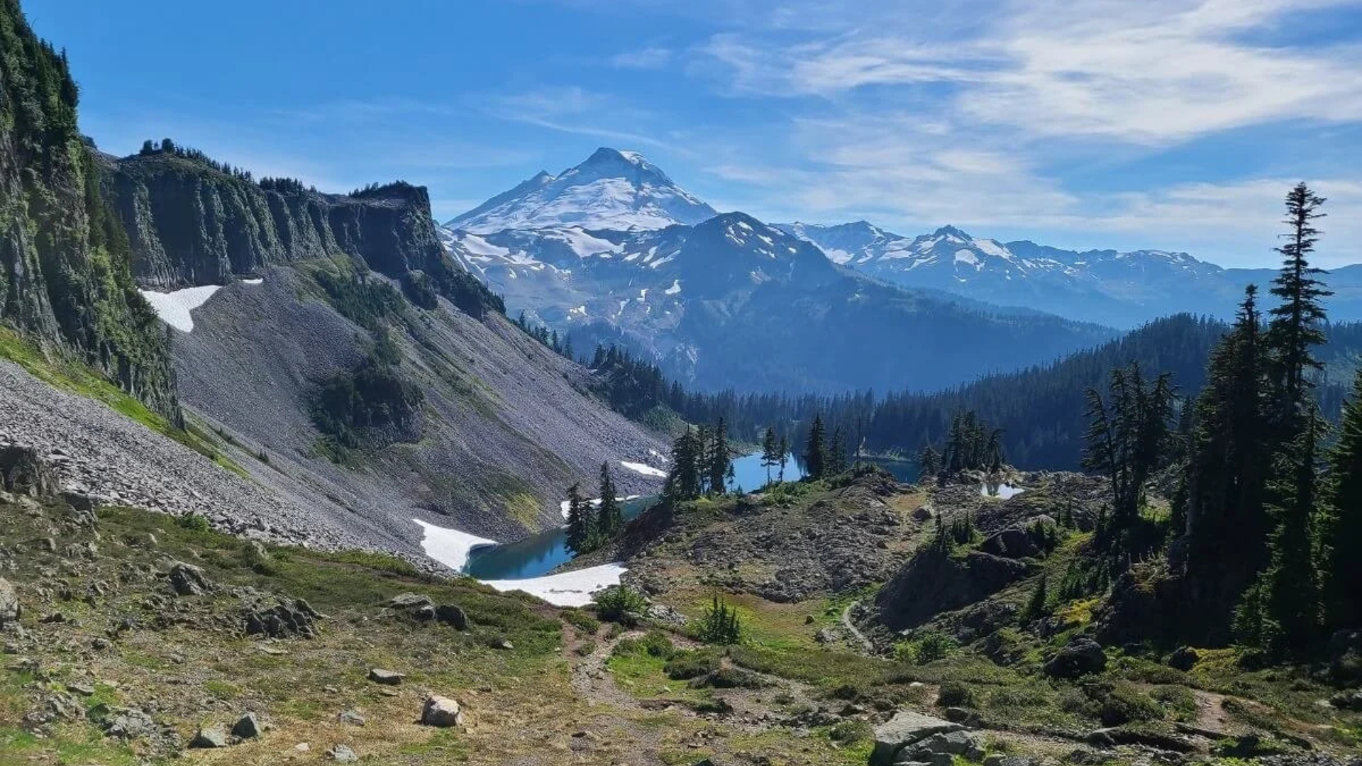
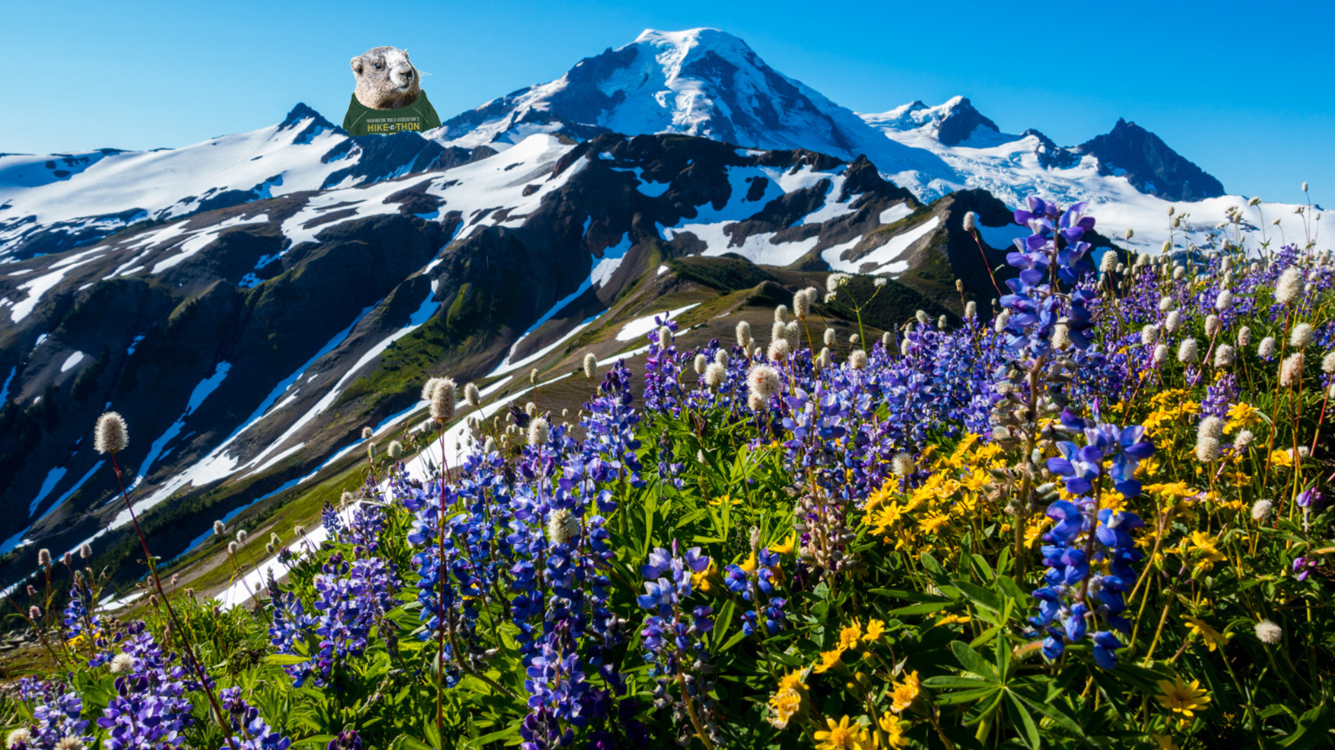
The views are different too, with volcanic peaks, turquoise lakes, and meadows full of lupine and heather.
Many trails offer views of both Mount Baker and Mount Shuksan at once. The terrain varies from old growth forest to rocky ridges to alpine meadows.
Access is straightforward along Highway 542, with no lottery systems for day hiking.
15 Best Mount Baker Hikes (Ranked by Experience Level)
I’ve organized these trails by difficulty so you can find the right match for your skills.
Easy Mount Baker Hikes
These trails work great for beginners, families with kids, and anyone wanting big views without big effort.
1. Artist Point Trail
This 0.5-mile paved path gains almost no elevation. You get viewpoints overlooking Mount Baker and Mount Shuksan right from the parking lot.
Perfect for families with small kids or mobility issues. Go early morning since the lot fills by 9 AM on summer weekends.
2. Fire and Ice Trail
A 1-mile loop from Artist Point with minimal elevation gain. The name comes from the contrast between glaciers and volcanic rock.
You’ll walk through heather meadows and across small snowfields even in August. Kids handle this easily.
3. Picture Lake Loop
A flat 0.5-mile circle around a small lake. The water reflects Mount Shuksan perfectly on calm mornings. It takes 15 minutes to walk around.
Fall colors pop here in late September. Mosquitoes can be thick in July, so wait until August.
4. Bagley Lakes Trail
This 1.5-mile out-and-back is mostly flat with gentle rolling sections. You’ll walk through subalpine forest and open meadows.
The lakes sit in a glacial valley with views toward Table Mountain. Families picnic at the lower lake and kids wade in the shallows.
Moderate Mount Baker Hikes
These trails require decent fitness but don’t need technical skills or mountaineering experience.
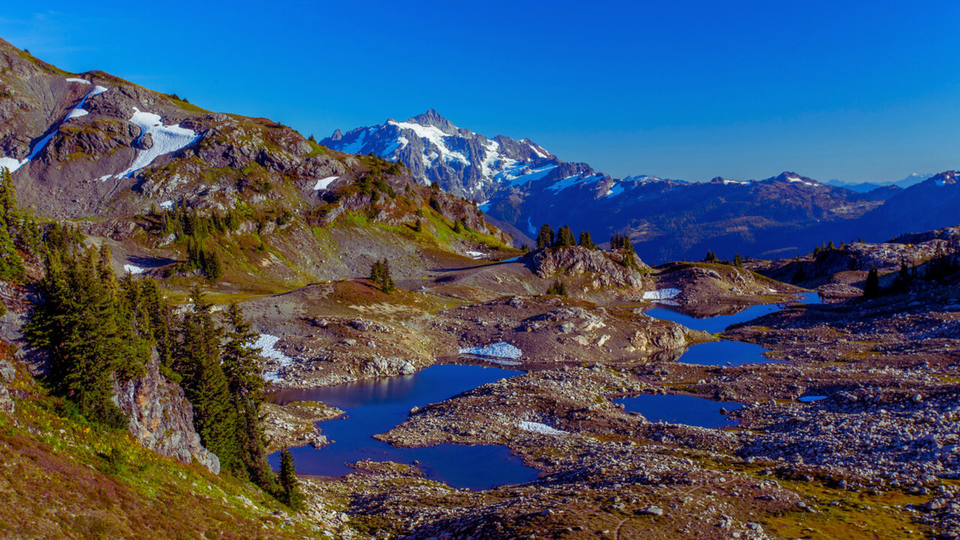
5. Chain Lakes Loop
This 7-mile loop gains 1,700 feet and circles through alpine country. You’ll visit multiple lakes, cross wildflower meadows, and get nonstop views of both peaks.
Plan for 4 to 5 hours. Bring plenty of water since sources can dry up by late summer.
6. Ptarmigan Ridge Trail
An 8-mile out-and-back with 1,500 feet of gain spread gradually. You’ll walk along a high ridge with huge drops on both sides and 360-degree views.
Snow lingers late, so wait until early August. The ridge gets windy, so bring a windbreaker.
7. Skyline Divide Trail
This 6-mile out-and-back gains 2,100 feet but rewards you with massive meadows. When wildflowers bloom in late July, this place lights up.
You’re looking straight at Coleman Glacier. The trail stays exposed with no shade, so start early on hot days.
8. Yellow Aster Butte
A 7.5-mile out-and-back with 2,500 feet of gain. The trail climbs through forest before breaking into alpine terrain filled with tarns and rock gardens.
The last section involves light scrambling over granite slabs. Summit views stretch from Mount Baker to Canadian peaks.
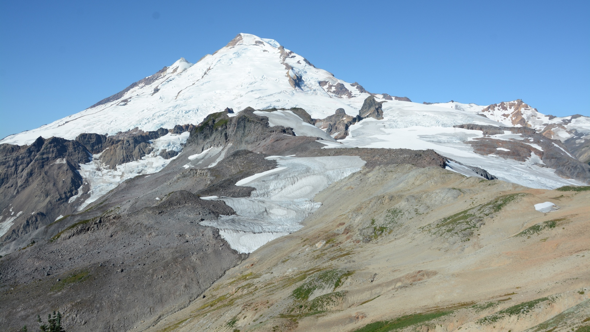
9. Heliotrope Ridge Trail
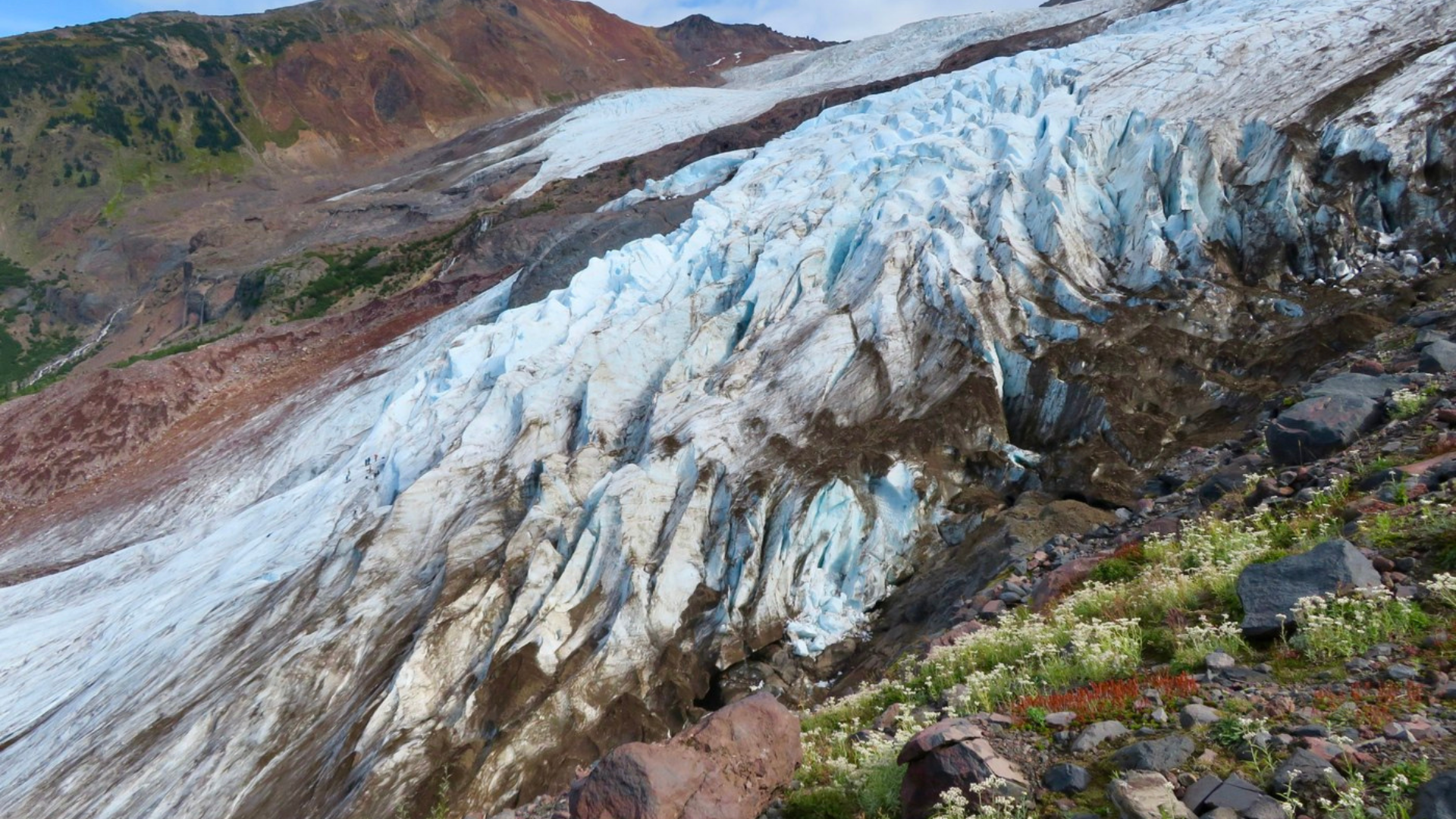
This 5-mile out-and-back gains 1,900 feet and takes you to the edge of Coleman Glacier. You can hear the glacier cracking and see meltwater pouring out.
The final viewpoint looks directly up at Mount Baker’s summit. Stays cooler than other trails because of the glacier.
Difficult Mount Baker Hikes
These trails demand strong fitness, experience with steep terrain, and comfort with exposure.
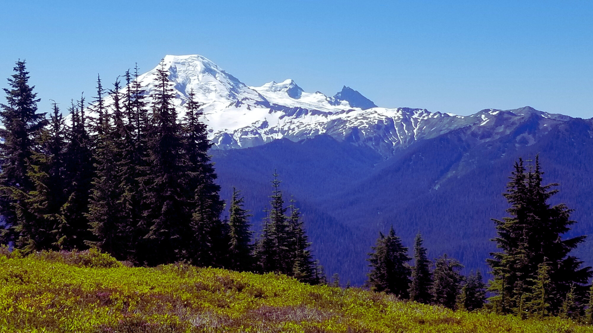
10. Park Butte Lookout

A 7-mile out-and-back with 2,200 feet of gain. The trail climbs steadily to a historic fire lookout with views of Mount Baker, Mount Rainier, and countless other peaks.
The lookout is available for overnight stays through recreation.gov reservations.
11. Table Mountain Trail
This 3.5-mile out-and-back only covers a short distance but gains 2,000 feet. It’s relentlessly steep with loose rock.
The summit is a massive flat plateau with cliffs dropping off all sides. Mountain goats walk across the summit regularly. Go early since it gets full sun.
12. Excelsior Pass & Damfino Lakes
The full loop covers 10 miles with 2,600 feet of gain. You can also just hike to Damfino Lakes for a shorter 6-mile out-and-back.
The pass offers views into Canada. The descent takes you through an old growth forest with massive cedars. This trail stays quieter than others.
13. Winchester Mountain Lookout
A 6-mile out-and-back with 1,350 feet of gain. The lookout sits on top with 360-degree views. Getting there requires driving a rough dirt road.
High clearance vehicles handle it fine. The lookout is also available for overnight reservations.
14. Goat Mountain Trail
This 10-mile out-and-back gains 3,000 feet. It’s a grunt of a climb through forest before breaking onto open ridges.
By the summit, you can see Mount Baker, Mount Shuksan, Twin Sisters peaks, and south toward the Cascades. Few people hike this trail.
15. Mount Baker Summit Route (Hiking + Scrambling Overview)
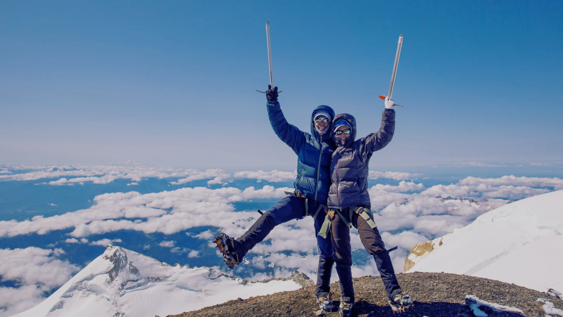
Climbing Mount Baker requires mountaineering skills, glacier travel equipment, and usually a guide. It’s not a hike in the traditional sense.
Most people take the Easton Glacier or Coleman-Deming routes. Both require crampons, ice axes, ropes, and crevasse rescue knowledge.
Best Time for Mount Baker Hiking (Month-by-Month Breakdown)
Here’s what to expect each month so you can plan your trip right.
| Month | Trail Conditions | What to Expect |
|---|---|---|
| June | Most trails snow-covered | Only lowest elevation paths might be clear. Not recommended unless experienced with snow travel. |
| July | Higher trails opening | Early July has snow on higher routes. Late July opens most moderate hikes. Wildflowers start blooming. Bugs are intense. |
| August | Peak season | All trails usually clear. Best wildflower display. More stable weather. Crowds pick up on weekends. Water sources reliable. |
| September | Best overall month | Fewer people after Labor Day. Clear, cool weather. Fall colors start. Snow can return to high ridges late September. |
| October | Lower trails only | Higher routes get first significant snow. Crowds disappear. Watch weather forecasts closely. Shorter days. |
| Nov-May | Winter conditions | Highway 542 closes. Most trailheads are inaccessible. Only for backcountry skiers and snowshoers. |
Plan for mid-July through mid-September for the most reliable conditions.
Mount Baker Hiking Map (Trailhead & Area Breakdown)
Highway 542 provides access to most trails. The road ends at Artist Point when open, typically mid-July through September.
Artist Point area includes Picture Lake, Bagley Lakes, Chain Lakes, and Table Mountain starting between 4,200 and 5,100 feet elevation.
Heliotrope Ridge trailhead sits off Glacier Creek Road. Skyline Divide and other trails are accessed lower down Highway 542 around 3,000 to 4,000 feet.
Winchester Mountain, Yellow Aster Butte, and Excelsior Pass require driving Forest Service roads that branch off Highway 542.
Check road conditions before heading out. Download offline maps since cell service cuts out past Glacier town.
Permits, Passes & Rules You Need to Know
You need a Northwest Forest Pass for parking at most trailheads. These cost $30 annually or $5 for a day pass. Buy them online or at the ranger station in Glacier.
Wilderness permits are free but required for overnight trips. Get them at the Glacier Public Service Center during operating hours.
Dogs are allowed on trails but must stay on leash. I see lots of people breaking this rule, but rangers do write tickets. Plus unleashed dogs stress out wildlife.
Campfires are prohibited in most alpine areas. Bring a camp stove for cooking. I’ve never felt the need for a fire up high anyway.
Stay on established trails to prevent erosion. I know those shortcuts look tempting but they cause real harm.
Safety Tips for Hiking Mount Baker
Weather up here changes faster than you’d expect, so be ready for anything.
- Pack rain gear and warm layers even on sunny days. I’ve seen blue skies turn to whiteout conditions in 30 minutes.
- Start early by 7 or 8 AM to finish before afternoon thunderstorms and avoid parking headaches.
- Bring more water than you think you need. I carry 3 liters on full-day hikes since sources can dry up by late summer.
- Tell someone your plans including trailhead, route, and expected return time. Cell service is spotty to nonexistent.
- Know your limits and turn around if you’re huffing heavily or feeling dizzy. The mountain will be here next time.
Conclusion
Mount Baker gives you hiking options no matter what shape you’re in.
I’ve walked you through 15 trails from flat lakeside loops to serious summit climbs.
You now know the best months to visit, what permits you need, and how to stay safe. Pick a trail that matches your fitness level and go test it out.
Challenge yourself with Chain Lakes or Yellow Aster Butte once you’ve got a few miles under your boots. The mountain isn’t going anywhere, so there’s no rush.
Just get out there and see why I keep coming back year after year. Check current conditions before you leave and have a great hike.
Frequently Asked Questions
Do I need special gear for Mount Baker hikes?
For easy and moderate trails, regular hiking boots and layers work fine. Bring trekking poles if your knees bother you.
Can I hike Mount Baker trails with kids?
Yes, several trails work great for kids. Picture Lake, Artist Point, and Fire and Ice are all manageable for young children.
Are there bears on Mount Baker trails?
Black bears live in the area but sightings are uncommon. Make noise while hiking, especially in dense brush. Store food properly if camping overnight.
When do wildflowers bloom at Mount Baker?
Peak wildflower season runs from late July through early August. Lower elevation trails bloom first in mid-July. Higher trails like Skyline Divide and Chain Lakes peak in early August.
Can I camp overnight on these trails?
Yes, many trails allow backcountry camping with a free wilderness permit. Popular spots include Yellow Aster Butte, Chain Lakes, and Park Butte.