

Capitol Reef was not on my radar at first. Then I went, and it changed how I think about Utah hiking.
The trails here are raw, quiet, and seriously underrated.
This guide breaks down the best hiking trails by skill level, from short canyon walks to tough full-day routes.
I’ll cover what to expect, what to pack, and what to watch out for on each trail.
No filler, no fluff. Just honest, straightforward trail info. If you want real guidance before you head out,you’re in the right place.
Capitol Reef: What Hikers Should Know
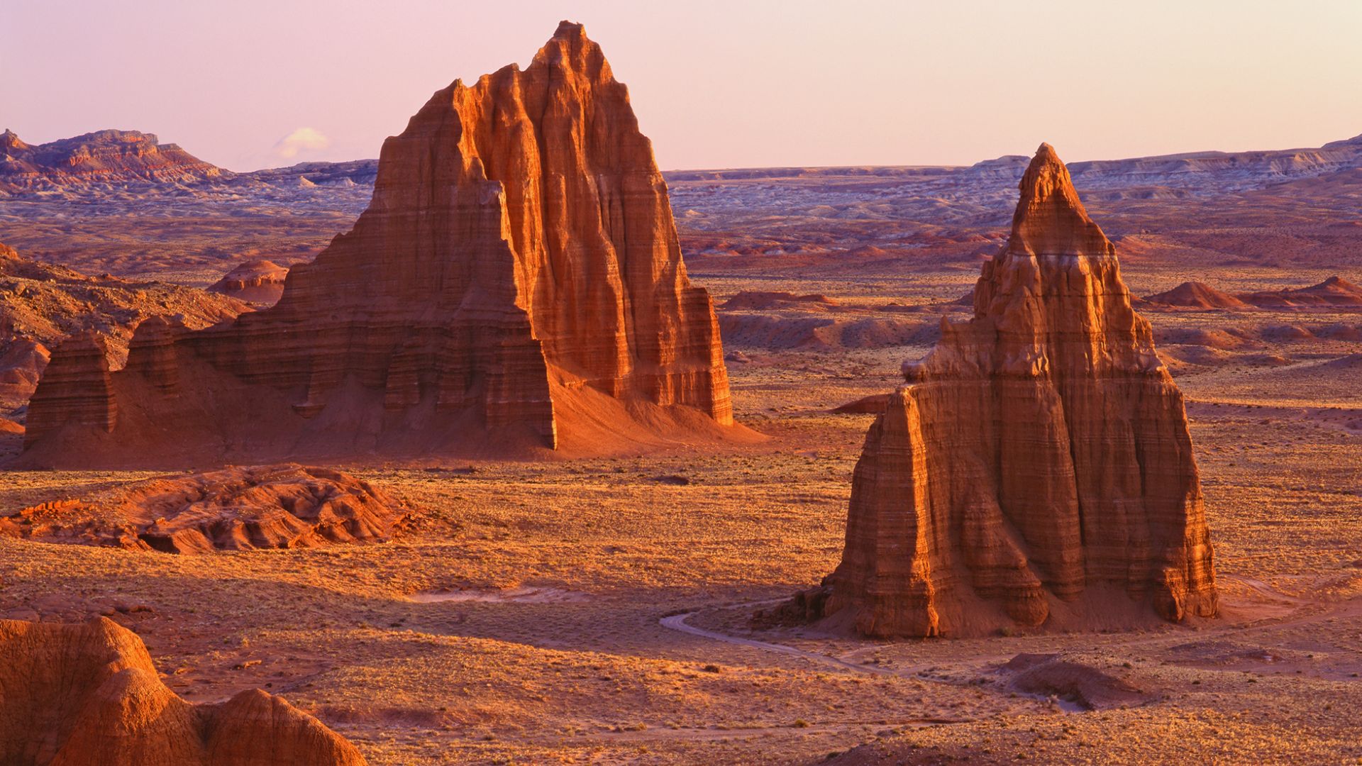
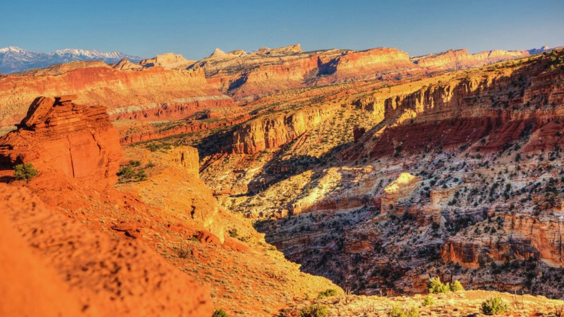
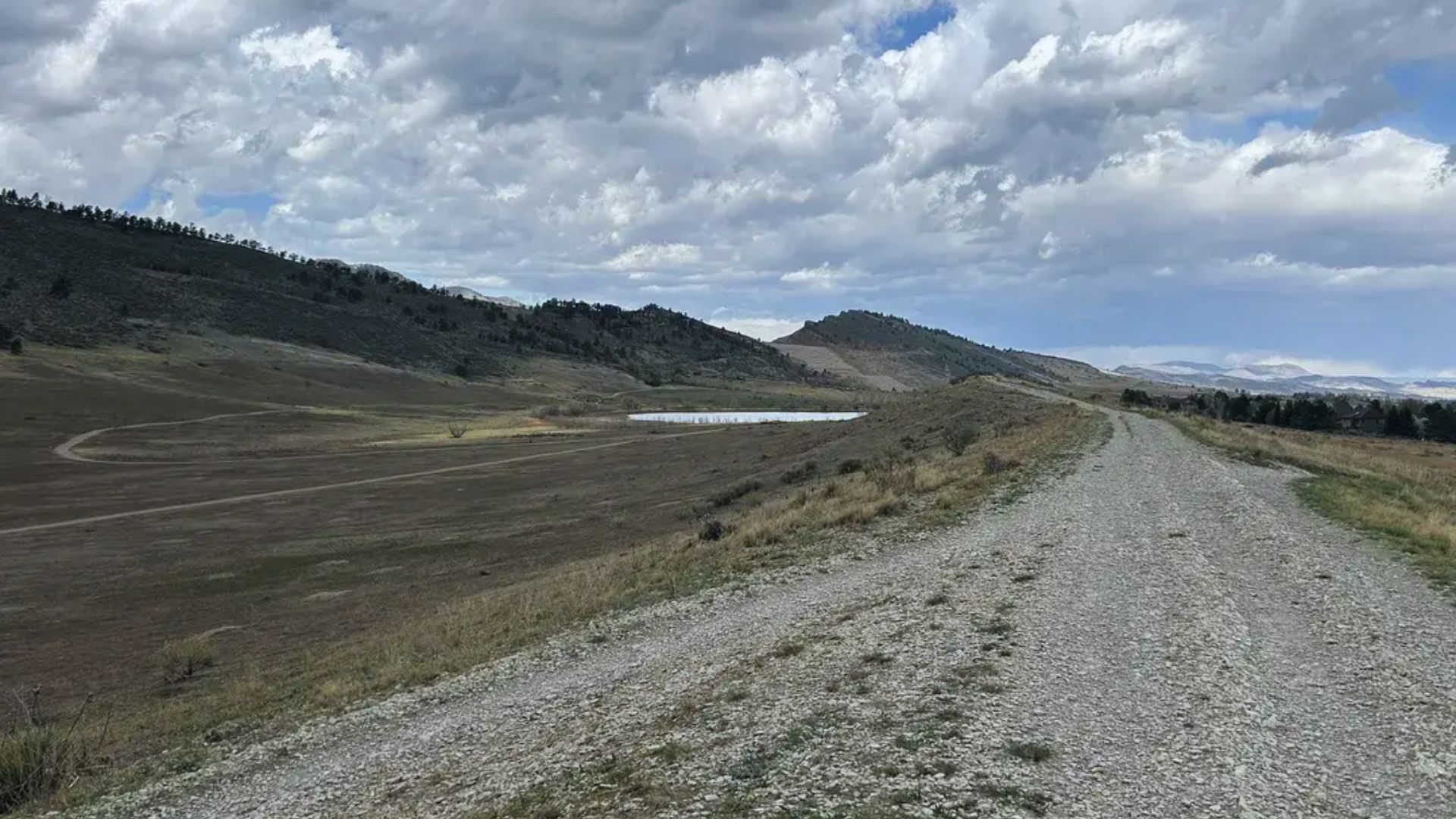
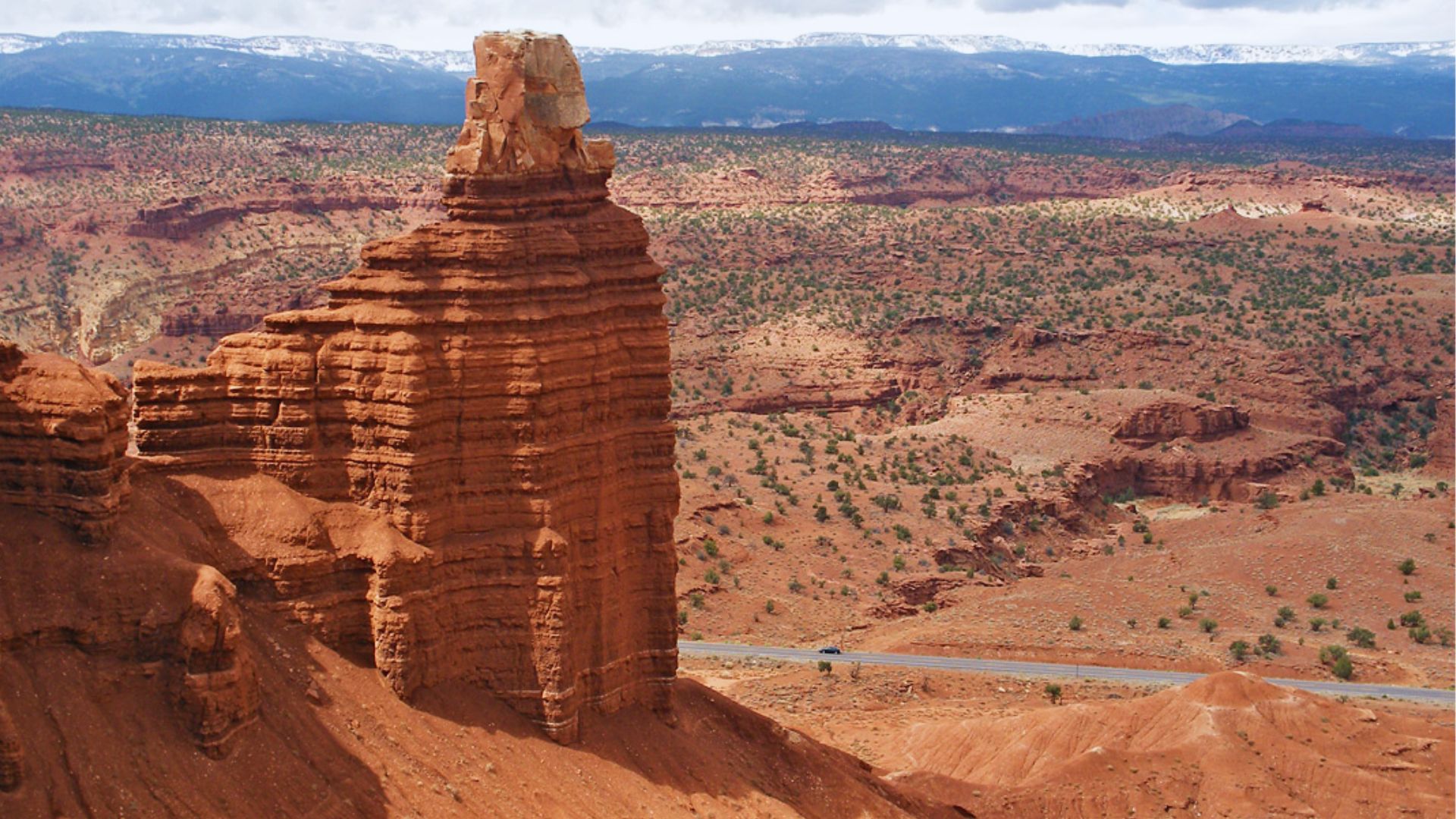
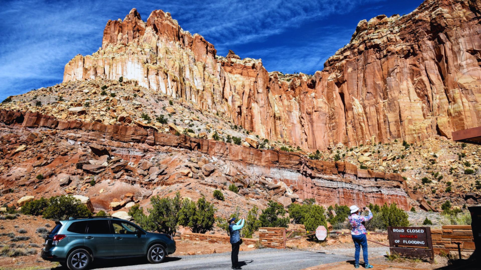
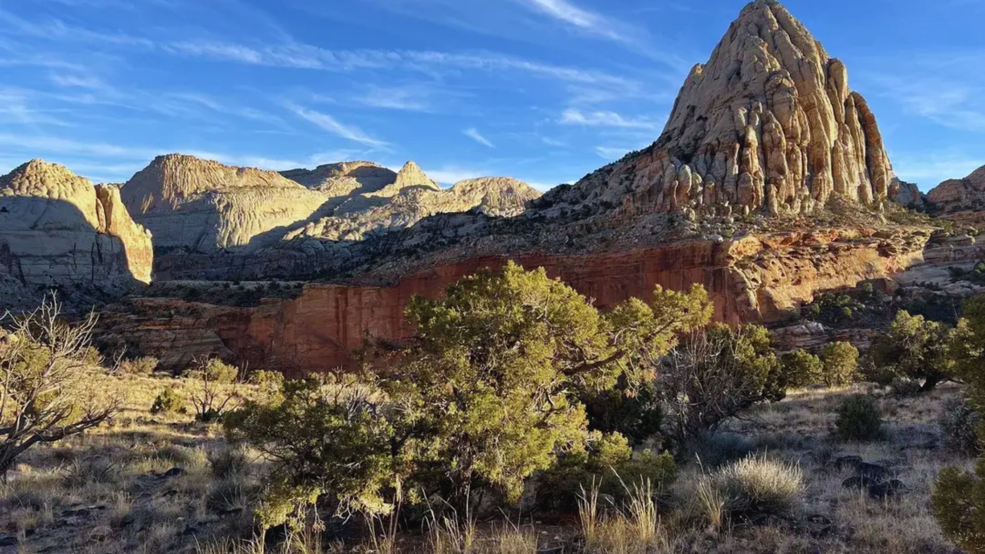
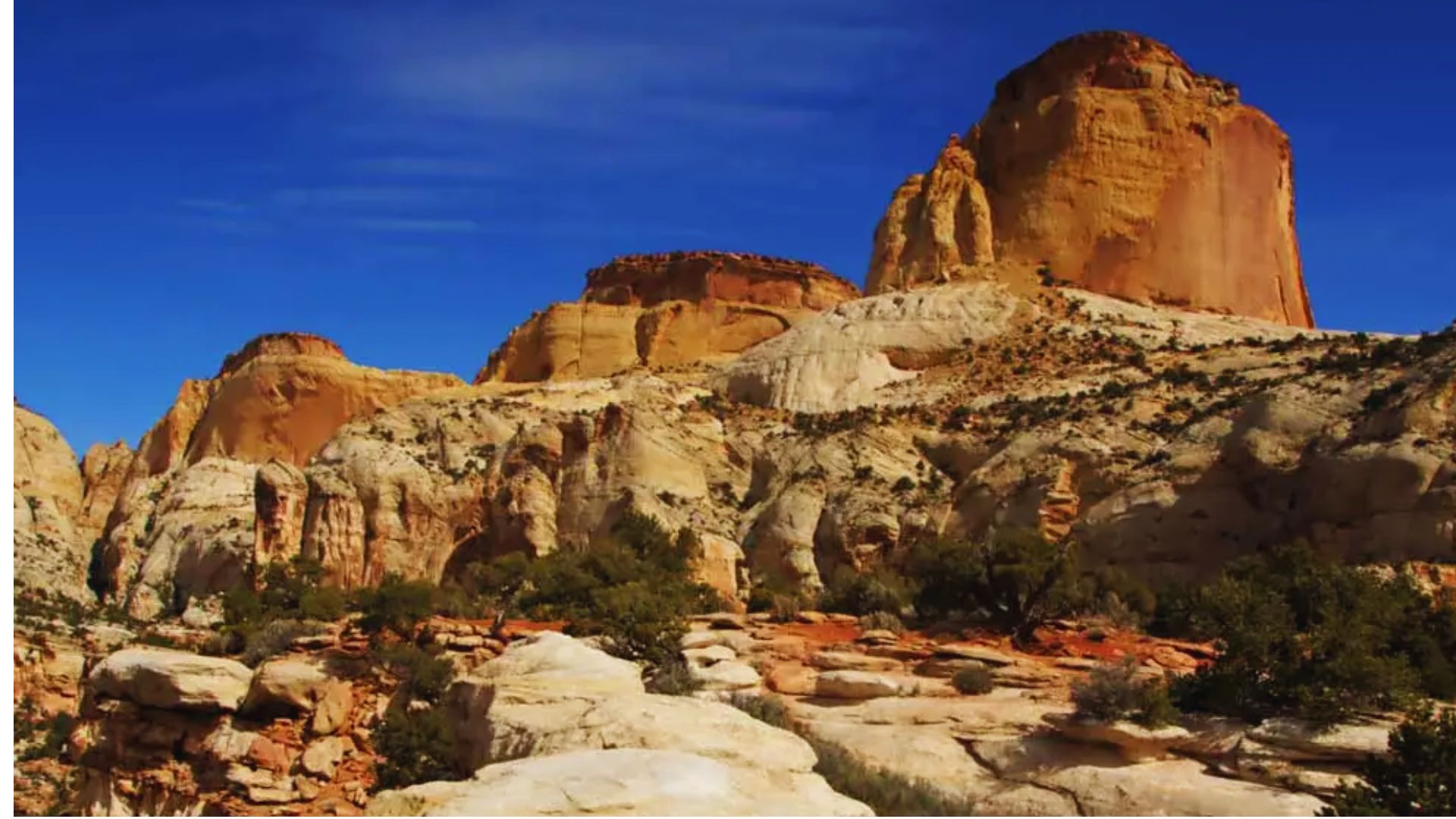
Capitol Reef National Park sits in south-central Utah and covers over 241,000 acres. It’s part of the Colorado Plateau, shaped by millions of years of erosion.
The park’s most famous feature is the Waterpocket Fold, a 100-mile wrinkle in the earth’s crust. Most trails run through dry, rocky terrain.
Water is scarce on nearly every route, so pack more than you think you need. Elevations range from 3,900 to 8,960 feet, which affects energy levels fast.
Cell service is almost nonexistent inside the park. The Fruita area, near the visitor center, is the most popular starting point.
Always check trail conditions on the park’s official website before heading out
10+ Best Hiking Trails in Capitol Reef National Park by Skill Level
From flat canyon walks to full-day ridge climbs, here are the best trails in Capitol Reef sorted by skill level.
Easy Trails
These trails are short, mostly flat, and great for beginners or families with limited hiking experience.
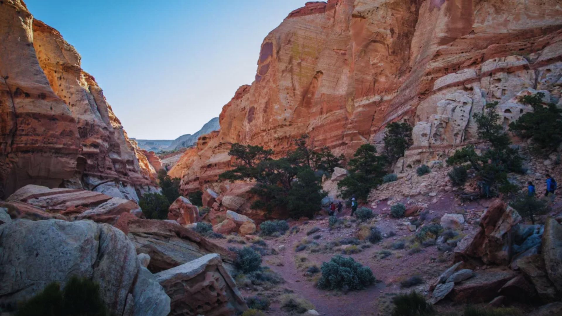
1. Grand Wash

Grand Wash is a flat canyon hike with towering red walls on both sides. The trail runs 4.4 miles round trip and follows a dry streambed through a tight section called The Narrows.
There’s almost no elevation gain, making it great for families and casual hikers. The canyon walls can reach over 800 feet in height.
It’s one of the most-walked trails in the park and connects to the Cassidy Arch trailhead.
Highlights: Slot canyon walls, minimal elevation gain, family-friendly, connects to Cassidy Arch, dramatic red rock scenery.
2. Hickman Bridge
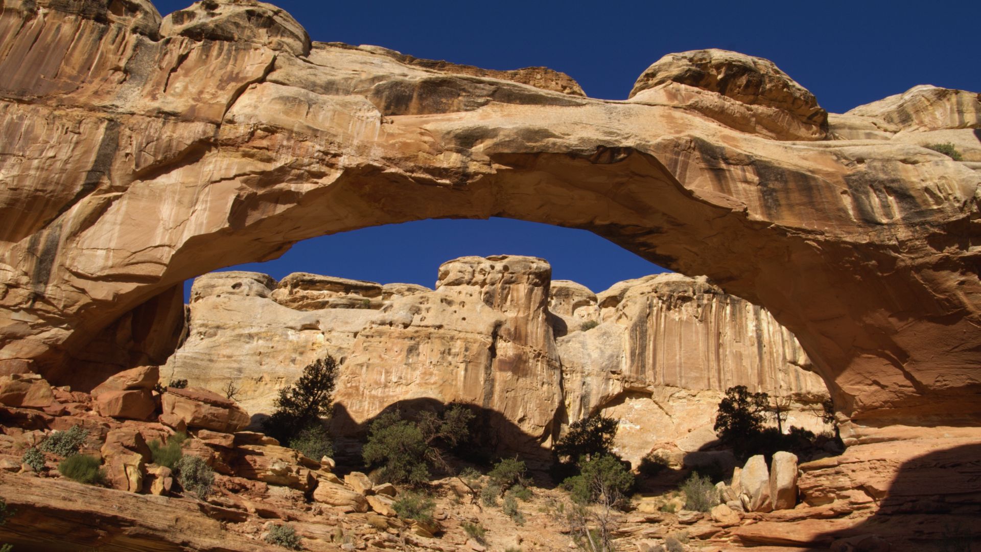
Hickman Bridge is a 1.8-mile round trip hike leading to a 133-foot natural rock bridge, one of the most photographed spots in the park.
The trail climbs about 400 feet in elevation with short rocky sections along the way. It passes through open desert before arriving at the bridge.
This trail works well for casual hikers who want a clear reward at the end without putting in a full day.
Highlights:133-foot natural bridge, 1.8 miles round trip, steady incline, views of the Fremont River valley, great photo spot.
3. Cohab Canyon
Cohab Canyon is a 1.7-mile one-way trail that winds through a narrow canyon above the Fruita campground. The hike starts with a steep climb but levels off quickly once inside.
The canyon walls close in and the trail feels very private. You can connect to the Frying Pan Trail from here, which opens up longer loop options.
This is a solid pick for hikers who want real terrain without a big time commitment.
Highlights: Narrow canyon walls, connects to Frying Pan Trail, short but engaging, good for morning hikes, minimal crowds.
4. Sunset Point Trail
Sunset Point Trail is a short 0.8-mile round trip walk that ends at a wide overlook above the Fruita valley.
The path is mostly flat with a gentle slope near the top. It’s best visited in the late afternoon when warm light hits the red rock layers.
No technical skill is needed. Good for quick visits or when you only have an hour to spare before heading to camp or the next stop.
Highlights: Wide valley views, 0.8 miles round trip, flat terrain, best at sunset, accessible for all ages and fitness levels.
Moderate Trails
These trails cover more ground and need decent fitness, but most prepared hikers can handle them with the right planning.
5. Spring Canyon Trail
Spring Canyon is a 7.3-mile one-way route through a wide canyon with changing terrain. The path crosses dry creek beds and open flats with rock scrambles in some sections.
Trail markers are sparse, so bring a downloaded map. The route ends near Highway 24 and requires a car shuttle, so plan logistics before you go.
The canyon feels remote and quiet, which makes the effort worth it for hikers who want solitude.
Highlights: 7.3 miles one-way, remote canyon, car shuttle needed, varied terrain, very few other hikers on the route.
6. Chimney Rock Loop
Chimney Rock Loop is a 3.6-mile trail that circles a tall red spire of the same name. The trail climbs fast at the start with steep switchbacks.
Views open up quickly once you gain elevation. The loop crosses open slickrock and red clay terrain that gets slippery when wet.
Trekking poles help on the descent. The spire is visible from the parking area and stays in view for most of the loop.
Highlights: 3.6-mile loop, steep start, wide park views, slickrock terrain, landmark spire visible throughout the hike.
7. Capitol Gorge Trail
Capitol Gorge is a 2-mile round trip hike through a narrow canyon once used as a wagon road before Highway 24 was built.
The canyon walls hold old pioneer signatures and Fremont petroglyphs that date back hundreds of years. Near the end, the trail reaches natural water pockets called The Tanks.
This is one of the most historically rich trails in the park and feels like walking through a living outdoor museum.
Highlights: Pioneer register carvings, Fremont petroglyphs, natural water tanks, 2 miles round trip, deep canyon walls with layered history.
8. Frying Pan Trail
Frying Pan Trail is a 3-mile one-way connector that links Cohab Canyon to Capitol Gorge. It climbs steeply out of Cohab and crosses open slickrock before dropping down.
The views from the top section stretch wide in every direction. Many hikers combine it with both canyon trails for a longer full loop.
Carry extra water since there’s no shade once you hit the slickrock, the sun hits hard here in the afternoon.
Highlights: 3 miles one-way, connects two canyon trails, slickrock traverse, open views at the top, best as part of a longer day hike.
Challenging Trails
These trails are long, steep, or remote, best for experienced hikers who are comfortable with full-day efforts and limited trail markers.
9. Cassidy Arch
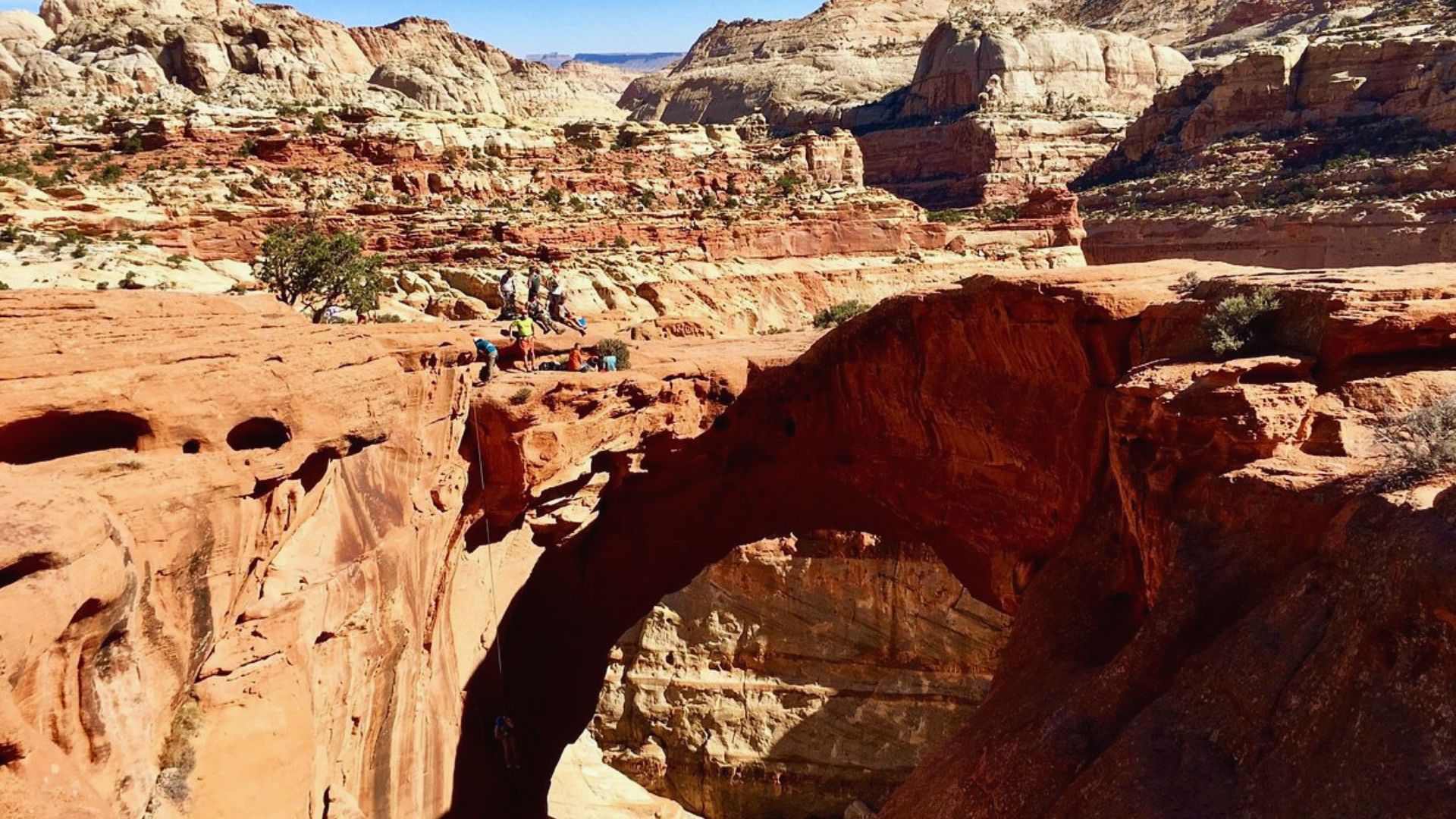
Cassidy Arch is a 3.5-mile round trip hike leading to a large freestanding arch above Grand Wash.
The trail climbs 670 feet through steep switchbacks and across exposed slickrock. The arch is named after outlaw Butch Cassidy, who reportedly hid in this area.
At the top, you can walk right up to the arch’s edge. The views looking down into Grand Wash from above are impressive and well worth the climb.
Highlights: 3.5 miles round trip, 670-foot elevation gain, named after Butch Cassidy, arch walk, top-down canyon views, slickrock exposure near the summit.
10. Navajo Knobs Trail
Navajo Knobs is an 8.9-mile round trip trail that reaches one of the highest viewpoints in the entire park.
The hike gains over 2,000 feet in elevation, with most of the climbing packed into the first half. Once at the top, views stretch across the Waterpocket Fold, Henry Mountains, and the Escalante region.
This is a full-day commitment. Start early, bring plenty of food and water, and don’t rush the descent.
Highlights: 8.9 miles round trip, 2,000+ feet elevation gain, panoramic views in every direction, full-day hike, best in spring or fall.
11. Golden Throne Trail
Golden Throne Trail is a 4-mile round trip hike to a viewpoint looking up at a massive sandstone formation that glows orange and gold in afternoon light.
The trail shares its start with Capitol Gorge. After the first mile, it climbs steeply through open terrain with minimal shade.
The trail ends at a viewpoint, you can’t hike to the top of the formation itself. Late afternoon is the best time for the light.
Highlights: 4 miles round trip, steep upper section, views of the Golden Throne, connected with Capitol Gorge trailhead, best visited in afternoon light.
12. Halls Creek Narrows
Halls Creek Narrows is a 20-mile round trip route through one of the most remote parts of the park.
The route follows a canyon with tight slot sections and multiple creek crossings. There is no maintained trail for most of the route.
Flash floods are a real and serious risk, always check weather before going. This is a multi-day backcountry hike for experienced hikers only. A permit may be required.
Highlights: 20 miles round trip, true backcountry route, slot canyon sections, creek crossings required, flash flood risk, for experienced hikers only.
13. Sulphur Creek Trail
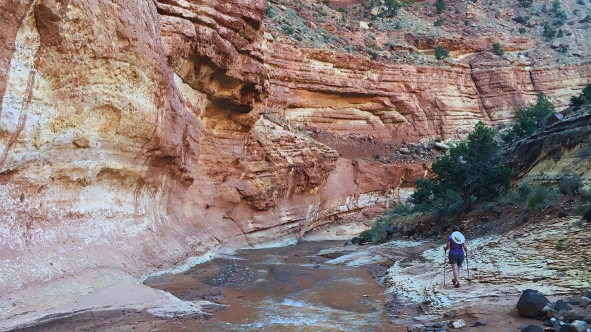
Sulphur Creek is an 8.5-mile one-way route through a canyon carved by the creek itself. Hikers wade through shallow water for most of the route.
Three small waterfalls require careful climbing around. The canyon walls stay narrow and tall throughout. A car shuttle is needed at the end point.
Wear shoes that dry fast. This trail is hard to follow without prior research, so read multiple trip reports before you head out.
Highlights: 8.5 miles one-way, water wading throughout, three waterfalls, narrow canyon walls, car shuttle required, not well-marked in sections.
Tips for Hiking in Capitol Reef
A few simple things can make your hike safer and a lot more enjoyable before you even leave the trailhead.
- Carry more water than you think you need: at least one liter per hour in summer conditions.
- Start hiking early: most trails get dangerously hot by mid-morning in warmer months.
- Download an offline map before you go: cell service is nearly nonexistent throughout the park.
- Wear layers: mornings can be cool even when afternoon temps spike fast.
- Check flash flood warnings before slot canyon hikes: water can rise with no warning at all.
Go in prepared and you’ll have a much better time than hikers who wing it.
Conclusion
I almost skipped Capitol Reef. Glad I didn’t. The trails here are quieter and more rewarding than most people expect.
Pick one trail that matches your fitness level and go. You don’t need to do it all in one day.
Start simple and build up from there.
Found this guide helpful? Drop a comment below and tell me which trail you’re hitting first.
And if you know someone planning a Utah trip, share this post with them.
Frequently Asked Questions
Is Capitol Reef good for beginner hikers?
Yes. Grand Wash and Sunset Point are flat, short, and easy to follow.
Do I need a permit to hike in Capitol Reef?
Not for day hikes. Backcountry routes like Halls Creek Narrows may need one.
What is the best time of year to hike Capitol Reef?
Spring and fall offer the most comfortable hiking conditions.
Are there water sources on the trails?
No. Carry all your water from the trailhead.
How long does it take to hike Hickman Bridge?
About 1 to 1.5 hours for the full 1.8-mile round trip.